From Les Baumettes through the Parc National des Calanques to Marseille (Madrague de Montredon)
Stage 5: Directions


Through the Parc National des Calanques
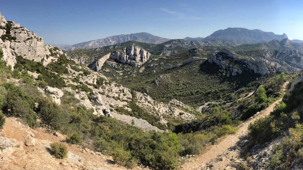
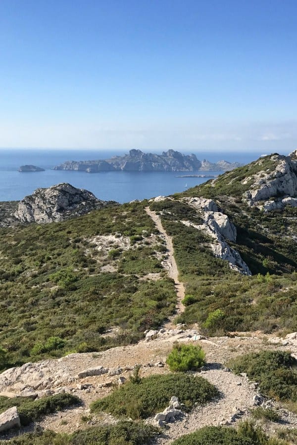
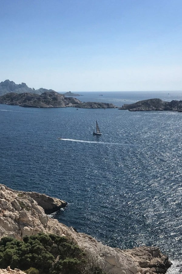
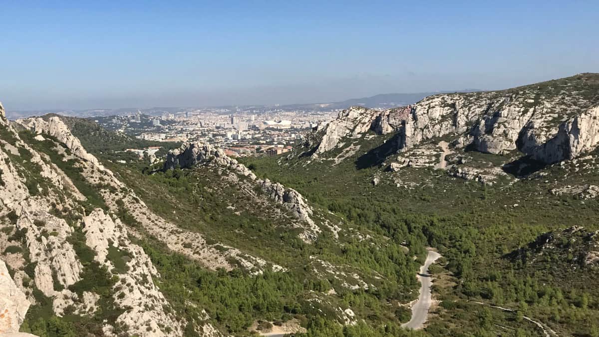
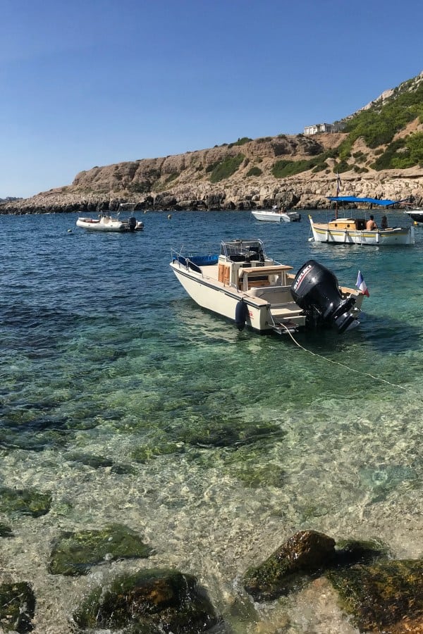
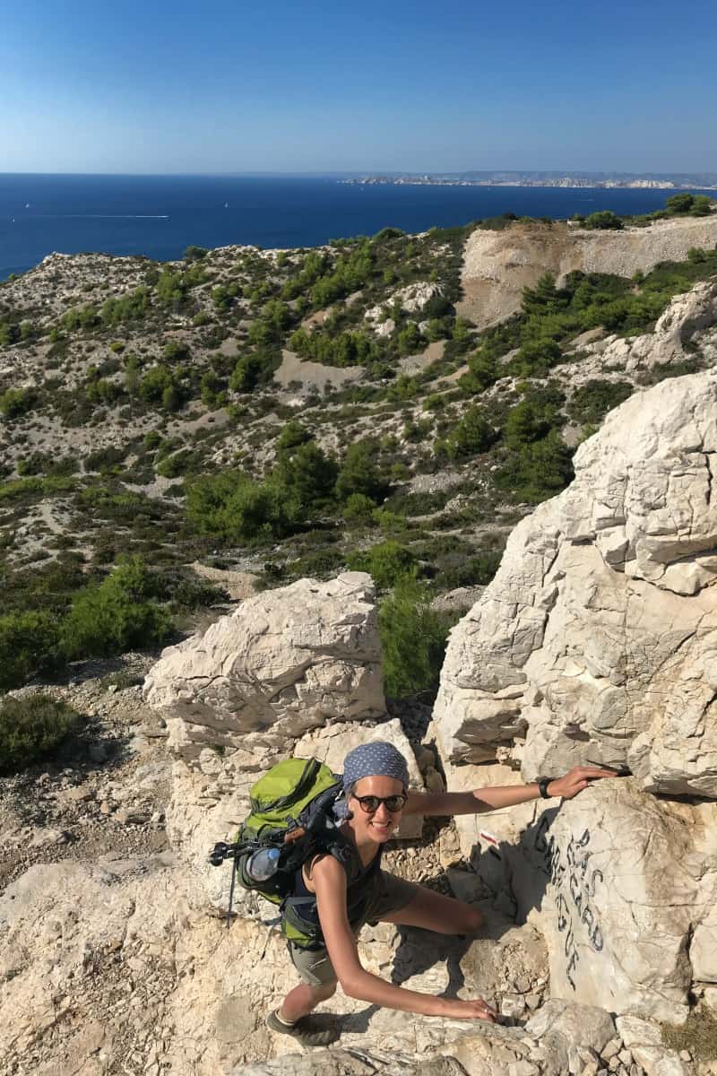
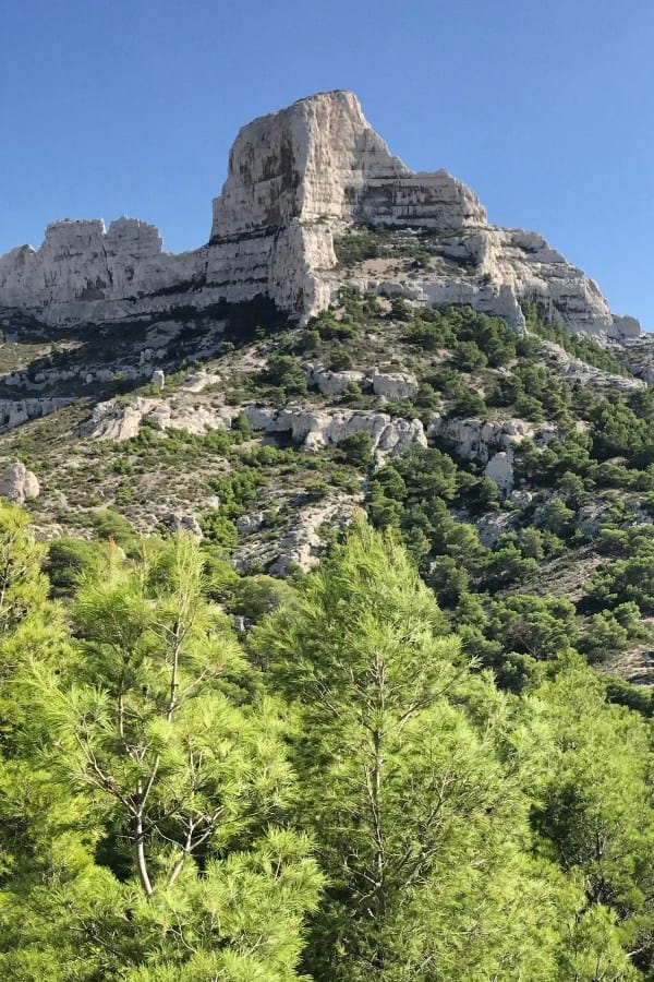
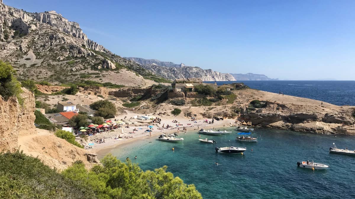
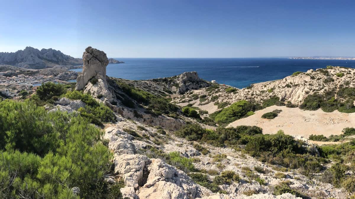
On the fifth stage we hike today through the beautiful southwestern part of the Parc National des Calanques. From Les Baumettes we first climb the Plan de Miette, from where we enjoy a great panoramic view of the coast and the offshore Riou islands. On the GR 51 we go slowly downhill and past numerous calanques until we reach Port de Callelongue (see also information in the section refreshment stops). Here we turn into the hinterland and hike a bit uphill again to Pas Edgard Garrigue, the only short via ferrata passage of our entire route (difficulty level: easy, bypassing is possible). With a view of Marseille and the famous former prison island of Chateau d'If, we then head towards the first suburbs of Marseille and thus the end of our hike.

The short climbing passage on stage 5 can also be bypassed if necessary
Travel by boat or bus to Marseille
In Madrague de Montredon there is the possibility to take the bus to Marseille (Bus line 19 to the metro station Castellane, change there and continue to the center).
If you fancy a boat trip instead, you can use the Navette Maritime boat service, which is part of the public transport system, at the port of Pointe Rouge (2 km further toward the center): For about 5€ per ticket, a ship departs here once an hour in the direction of Marseille/Port Vieux. Note: The boat connection is only operated in the summer half-year (usually from the end of April to the end of September). A timetable and further information are available here: http://www.rtm.fr/guide-voyageur/se-deplacer/navettes-maritimes.
Alternative: In the high season (from June 1st to September 1st, see link above), the Navette Maritime ferry service will be expanded again, so that you can already take the ship from Les Goudes to Marseille. To do this, leave the hiking route at Port de Callelongue. Instead of turning inland, you hike along the coast to Port des Goudes.
Facts about stage 5
Route: 12.3 km
Altitude: 480m ascent / 550m descent
Duration: 5:30h (without breaks)
See also elevation profile
Downloads details
Refreshment stops along the way
Lunch en route at simple but popular beach bistro "Chez le Belge" in the Calanque de Marseilleveyre (the opening hours are weather dependent and will be on Facebook announced) or upscale im Restaurant La Grotte in the Calanque de Callelongue

Stage 5: accommodation
Overnight in Marseille
The last leg of our long-distance coastal hike ends in a suburb of Marseille - so what could be better than to spend a few days exploring this interesting city? Hotels, guesthouses and lodgings are logically there for all tastes and preferences, so there is no need to recommend any specific accommodation here. Who will be killed by the selection: This link leads to the list of very good to excellent rated accommodations in Marseille on booking.com.