Stage 1: Directions

From Bandol to Saint-Cyr-Sur-Mer

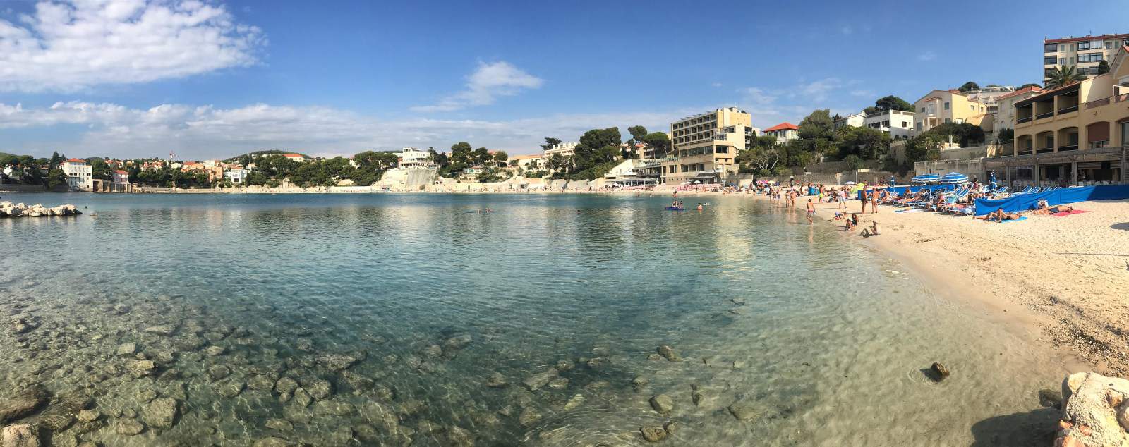
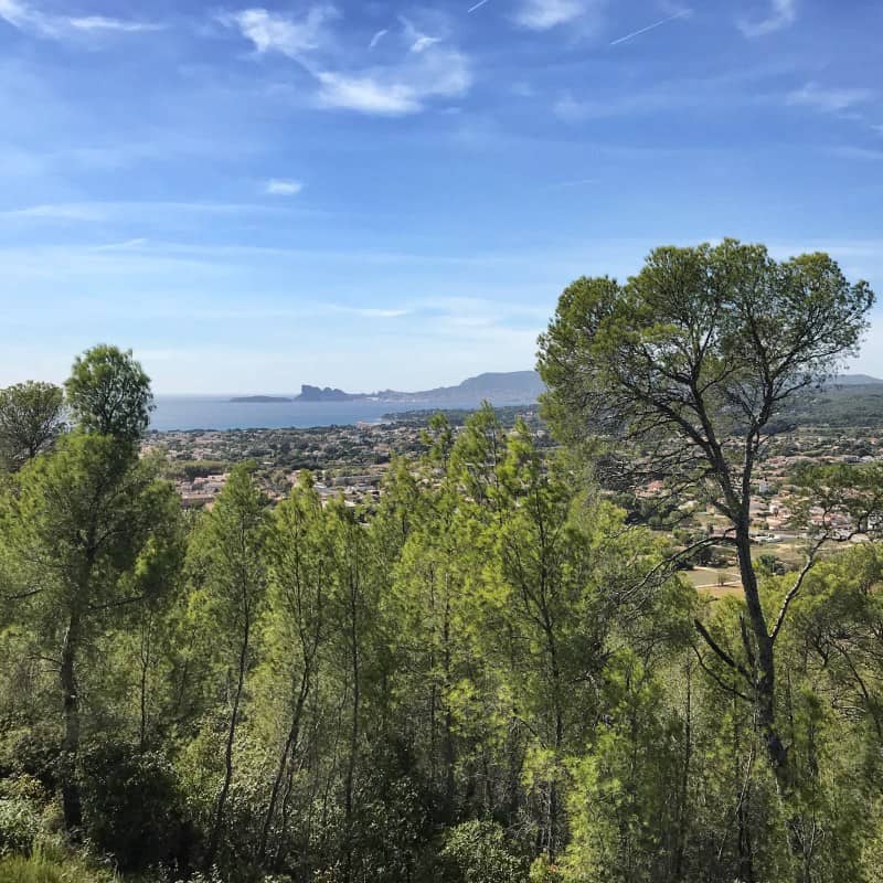
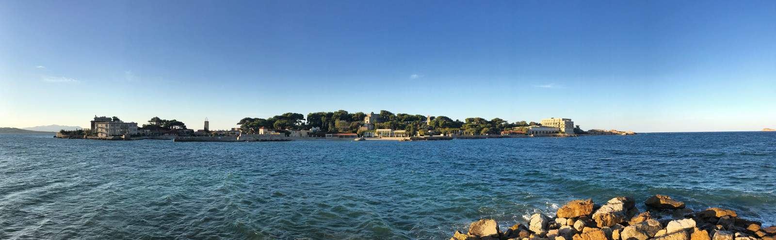
Our hike starts at the southern tip of Bandol with a view of the picturesque mini-island Île de Bendor (see Arrival and Overnight stay in Bandol):

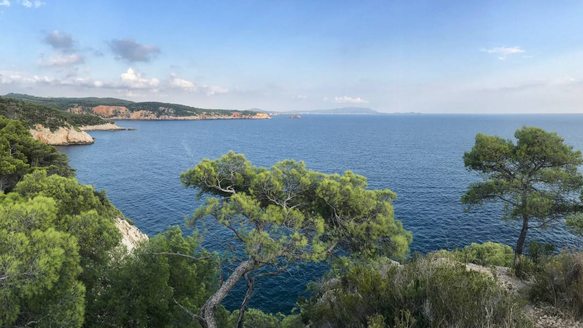
We follow the Sentier Littoral coastal hiking trail, which starts here and is marked in yellow and first leads us along the beach of the semicircular bathing bay of Bandol. We then leave the town along a paved secondary road. At the end of the village, we pass an elongated apartment complex between fences, after which the route runs through nature: we walk on forest paths through the coniferous forest, always with the sea, the rocky cliff and many bays with crystal clear water on our left.

After about 10 km of hiking (see kilometer marker on the map), the Sentier Littoral is closed due to landslide danger (as of September 2019). This place can be bypassed without any problems, so on our map and in the GPX file download we have only marked the bypass (i.e. the section between kilometers 10 and 11). A repair of the path is probably planned - if this is completed in the meantime, we would be happy about feedback (Feedback here please)!

We reach Saint-Cyr-sur-Mer around lunchtime: there are numerous restaurants here, as well as a small supermarket in the La Madrague district (see map). By the way, the coastal hiking trail Sentier Littoral ends here. The second part of our hike therefore leads us in the afternoon without trail markings into the hinterland to La Cadière-d'Azur and represents the connecting piece to the GR 51, on which we will be on the road the next day.

Facts about stage 1

Route: 20.0 km
Altitude: 490 m ascent / 340 m descent
Duration: 6:45h (without breaks)
See also elevation profile

Downloads details

Refreshment stops along the way

Numerous restaurants along the way in Saint-Cyr-sur-Mer and on the local beach promenade, small supermarket in Saint-Cyr-sur-Merim district of La Madrague (see map)

From Saint-Cyr-sur-Mer to La Cadiére-d'Azur 

At the traffic circle at Camping Les Baumelles, we turn away from the sea and walk a bit inland, slightly uphill through the pine grove of the campsite. After the grove, we turn right at the first opportunity (just after the kilometer 13 marker). Then immediately turn left again (road sign Chemin des Baumelles). Just before the km 14 marker, we reach the Saint-Cyr-sur-Mer exit sign and turn left onto the Chemin du Pont des Agnes. After passing the railroad line and the road running parallel to it, we turn onto the Chemin de la Clare. This begins offset about 50 m to the right as seen from the bridge and continues up a fairly steep ramp.

From now on, orientation becomes easier: we walk straight ahead along the steeply sloping edge of the hill we have just climbed. From here we have a great view of the bay of Saint-Cyr-sur-Mer. Our destination for the day, La Cadiére-d'Azur, is at the northern end of the hill. A tangle of several small paths and side roads lead through this beautiful, predominantly vineyard area. Which of the paths we take exactly is irrelevant, we just must not descend too far to the left and back into the valley. On the right side, the relatively busy D266 road limits our terrain. Therefore, we have decided for a middle way: Shortly after kilometer 16 we turn right, a little bit down into the fertile valley, at kilometer 17 we turn left again. After 20 km we reach the center of La Cadiére-d'Azur.