From La Cadière-d'Azur to La Ciotat
Today's stage takes us on the GR 51 in a wide arc through the coastal hinterland to La Ciotat. As soon as we have provided ourselves with sufficient water and provisions for the day (no refreshment and shopping facilities on the way!), we leave La Cadière-d'Azur uphill in a northwesterly direction via Avenue André Favory, which branches off from the main road. On the Chemin du Stade, which branches off to the right shortly thereafter, we continue uphill for a short distance, but the Chemin du Peyneuf, which branches off to the right, soon leads us down the slope in the direction of the highway.
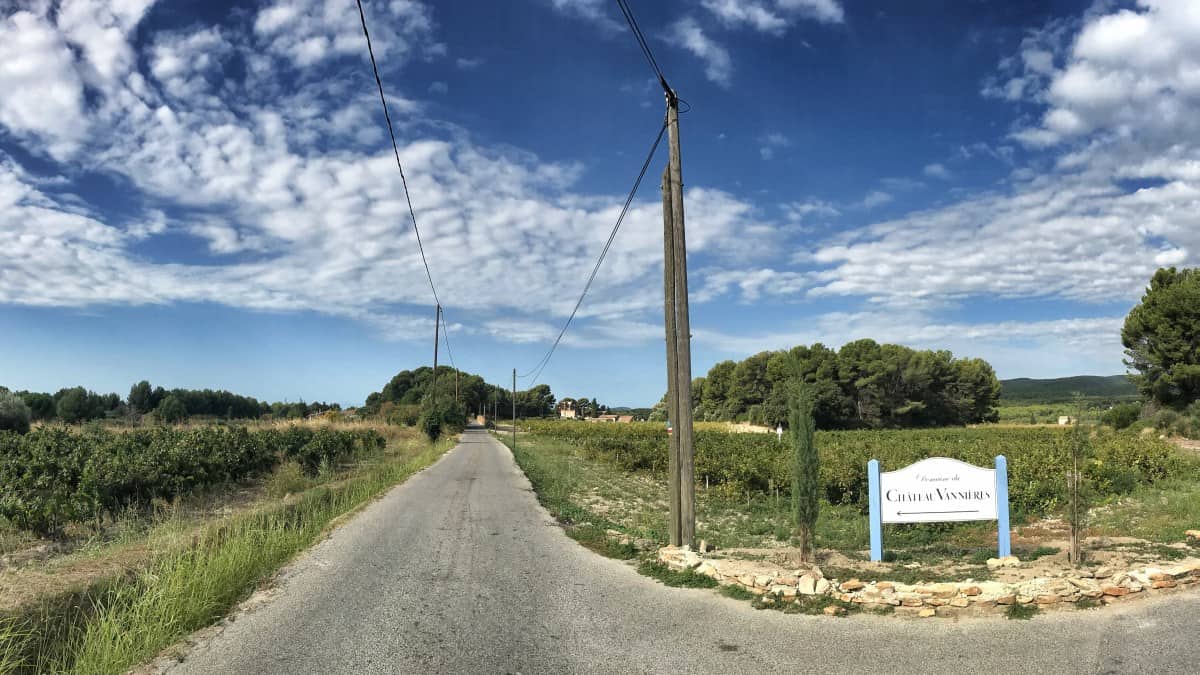
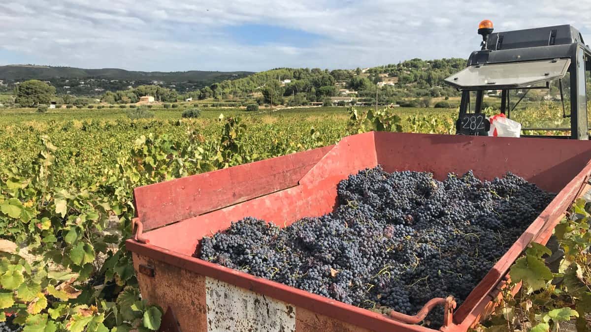
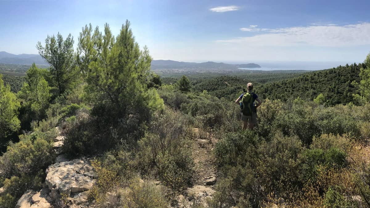
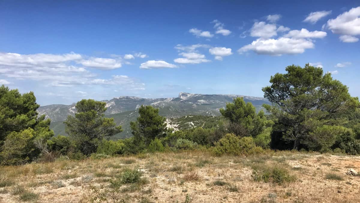
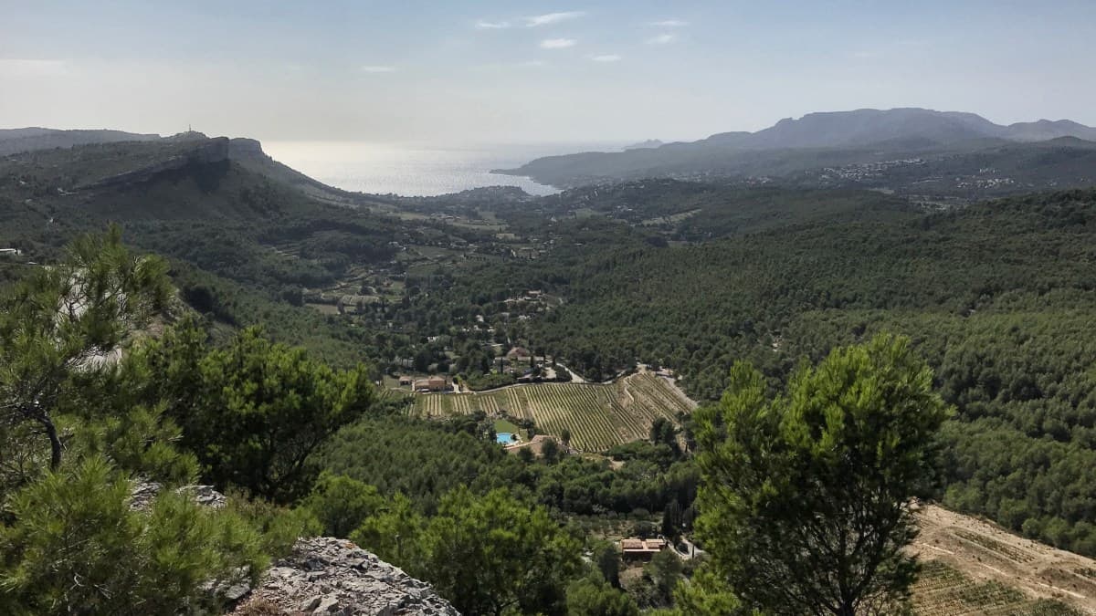
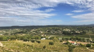
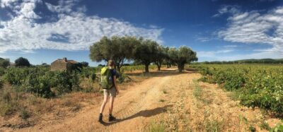
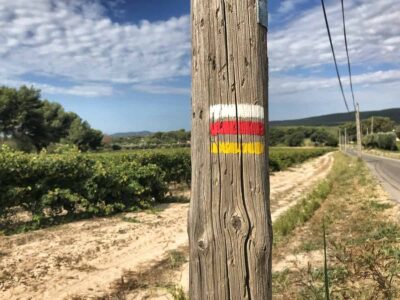
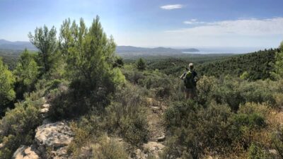
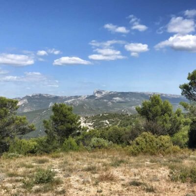
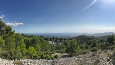
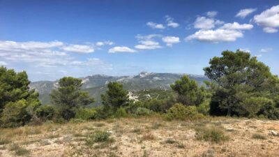
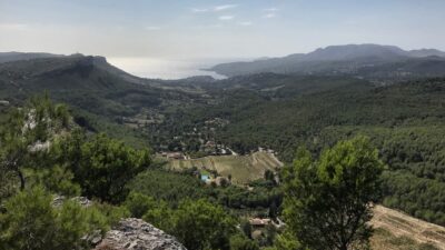
After about 2 km we cross the highway - best not over the busy bridge but safer through the pedestrian tunnel located a few hundred meters to the left (this is also the official routing of the GR 51). Now it goes a bit through the plain past wineries, before our path then slowly but surely winds up the hill. Once we are high enough, we have views in two directions: On the left the view to the sea, on the right the panorama of the hinterland with the eye-catching radar station of the Pic de Bertagne.
Attention: The previous hiking route is closed in this section - there have been several reports of a shepherd with dogs sending hikers back. There is a parallel alternative route a little further west. This is marked on the map or available in the download area as an additional GPX file (as of 31.10.2024). See also the following comments: https://www.kuestenwanderweg-marseille.de/fragen-erfahrungsberichte-und-tipps-zum-kuestenwanderweg-marseille/#comment-925.
Stage 2 facts
Route: 22.9 km
Altitude: 610 m ascent / 660 m descent
Duration: 7:00 a.m. (without breaks)
See also elevation profile
Downloads details
Refreshment stops along the way
No places to stop for refreshments on the way, take enough provisions and water with you!
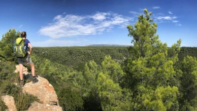
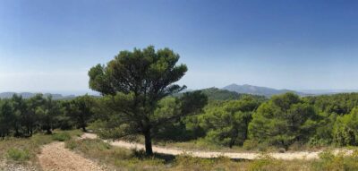
The GR 51 leads us now on more or less constant height along the back of the hill. Only once (shortly before kilometer 11) we cross a country road in a depression, otherwise we have the nature almost for ourselves. We make a good distance and shortly after kilometer 18 we meet a pass road. We cross this and shortly thereafter look down on the highway passing below us. On the way downhill, our trail now touches one of the hairpin bends of the pass road for the first time. In the small wooded area after that, the path forks: the GR 51 leads to the right downhill towards Cassis, but we recommend instead to take the path that continues straight ahead and descend to La Ciotat, so that we can enjoy the spectacular cliff hike between La Ciotat and Cassis on stage 3, which the official route of the GR 51 unfortunately omits.
We leave the GR 51 here and immediately meet the pass road again. We cross it and continue on a path that runs parallel above the road until the next 180-degree bend. Here we follow the path leading south, which at first climbs slightly. Shortly after kilometer 20 we turn left, now downhill into a side valley. There we come across several forks in the road, where we tend to keep left/downhill. In an idyllic hollow we then meet a wider path, which we follow to the right.
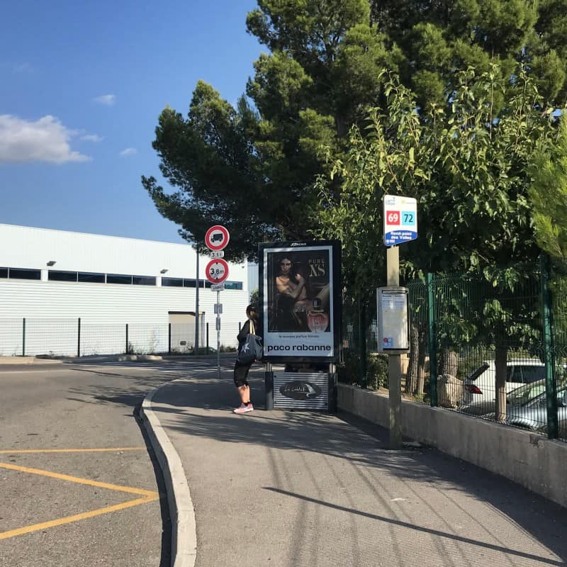
The last meters of the hike lead through an industrial area. Since we have now hiked more than 22 km and the further way to the center of La Ciotat is not very attractive, we recommend to get on the city bus of La Ciotat at this point. The bus stop is at the traffic circle on the side directly in front of the Ibis Hotel. From here, there are several different connections to the center every hour (with and without changing buses). Current departure times and the route of the bus trip are available at: moovitapp.com. Note: At the stop (see photo) were on our tour only the lines 69 and 72, but line 52 has also stopped here and brought us without changing to the center.

