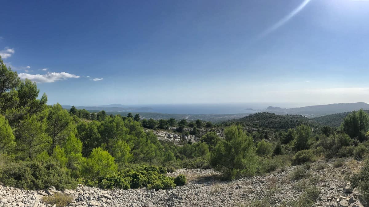
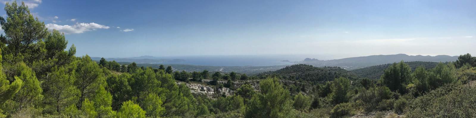
Stage 3: View from the highest cliffs of France to the fjord-like coast of the Parc national des Calanques
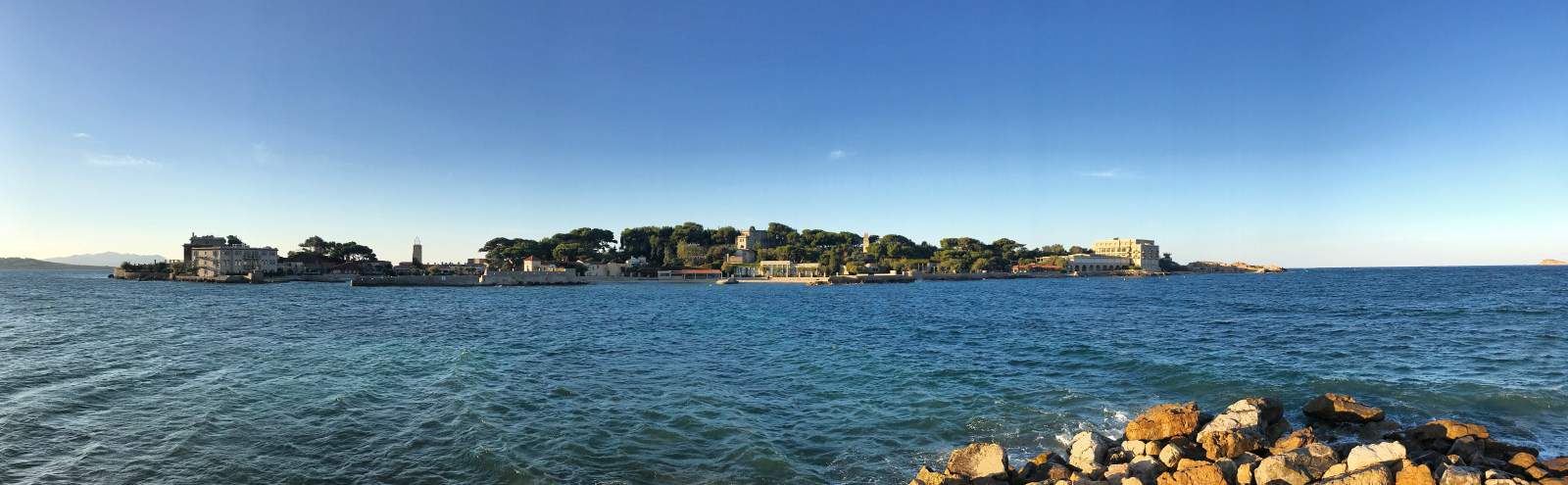
The vibrant Mediterranean metropolis of Marseille has developed in recent years from a port city with high unemployment and a mediocre reputation into a real insider tip for culture and city travelers: Mediterranean, southern French lifestyle, new museums and a freshly renovated harbor promenade, coupled with a good dash of wildness and multiculturalism, make Marseille interesting and unique at the same time.
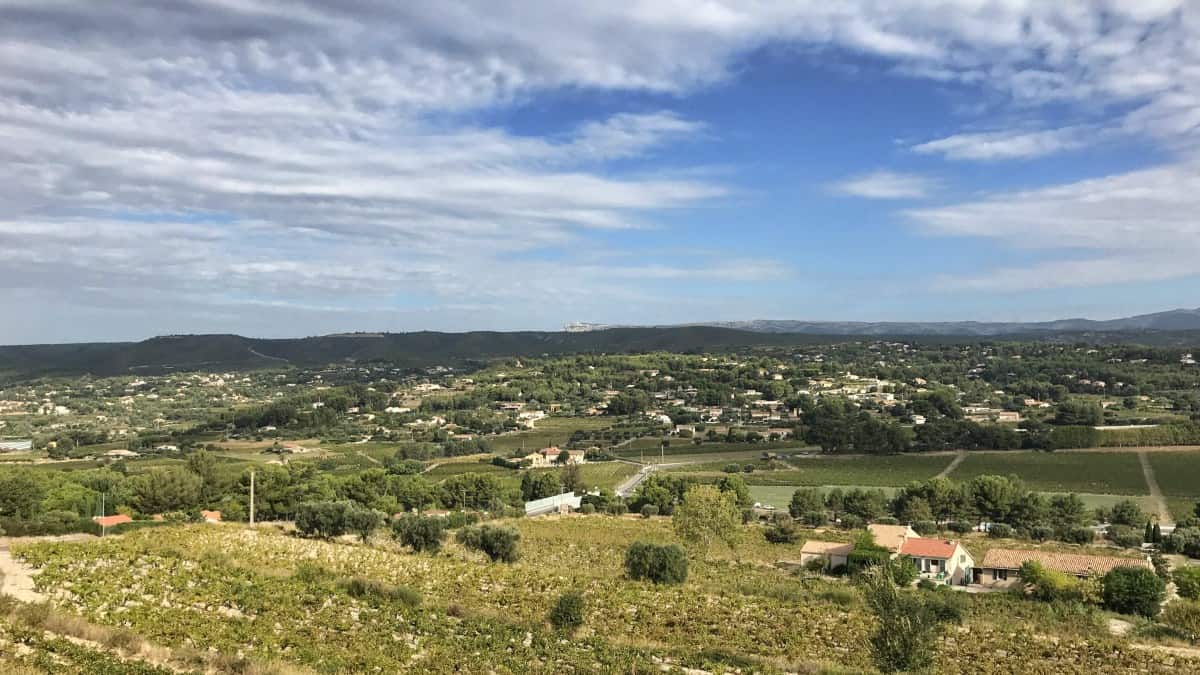
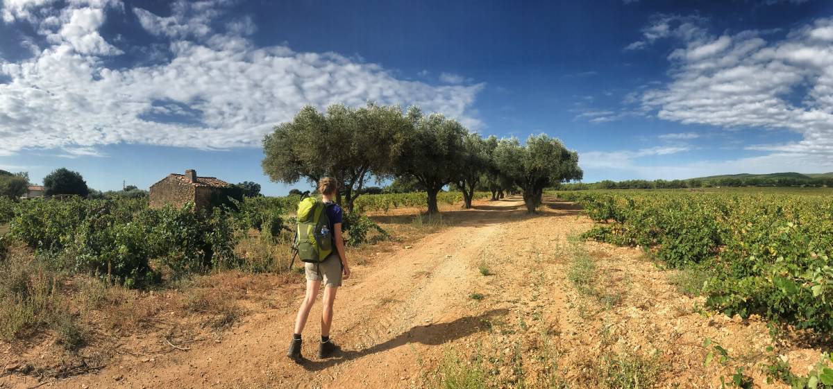
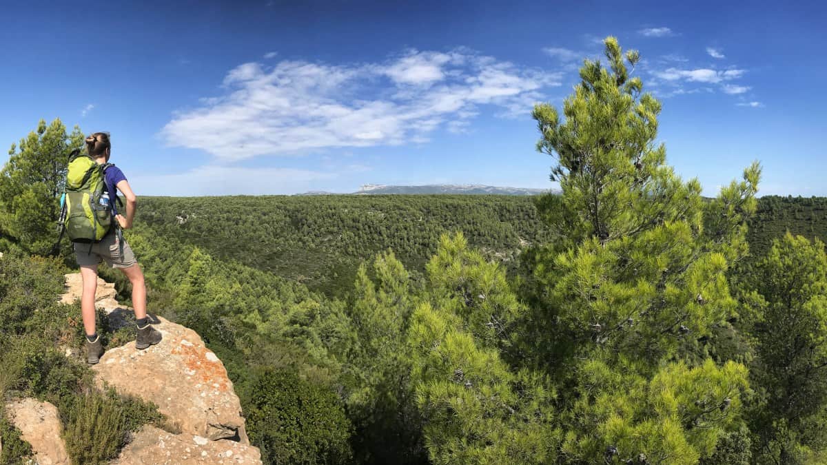
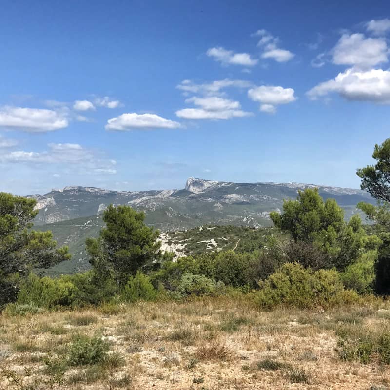
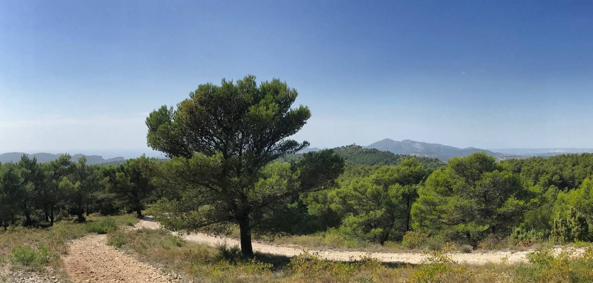
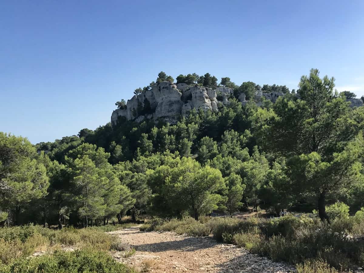
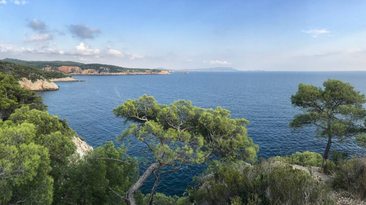
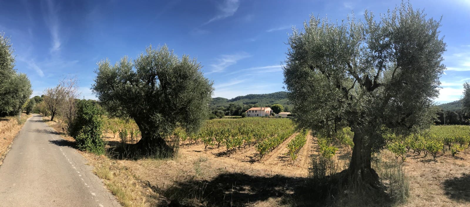
However, France's second-largest city can also boast a very special asset - since 2012, almost a third of the city's area has been a nature reserve: the Parc National des Calanques stretches along the Mediterranean coast south of Marseille. At its heart is a rugged limestone mountain range with many fjord-like bays, known as calanques in French. The Calanque massif, which is about 20 km long, is a beautiful hiking area that we will cross as a scenic highlight on the last two days of our five-day long-distance hike.
| Stage | Duration | Route | Increase | Descent | Stage destination | Overnight stay |
|---|---|---|---|---|---|---|
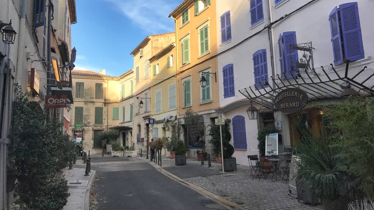
| Stage 1 | 6:45 a.m | 20 km | 490 m | 340 m | La Cadière d'Azur | Boutique hotel Bérard |
| Stage 2 | 7:00 a.m | 22.9 km | 610 m | 660 m | La Ciotat | La Maison d'Odette |
| Stage 3 | 4:45 a.m | 10.9 km | 630 m | 630 m | Cassis | Le Clos des Aromas |
| Stage 4 | 6:30 a.m | 15.7km | 780 m | 690 m | Les Baumettes | Le Garage des Calanques |
| Stage 5 | 5:30 a.m | 12.3 km | 480 m | 550 m | Marseille (Madrague de Montredon) | Accommodation in Marseille |
| 30:30 h | 81.8 km | 2,990m | 2,870m |
Long-distance hike option
The hiking route can not only be explored as a long-distance hike, but almost as well as part of a hiking holiday with fixed accommodation. Details can be found here: Variant: hiking holiday with permanent accommodation in Marseille.


.")